Green Trails Maps
Best Trail Maps in the WestThe Story
Walt Locke, The Founder of Green Trails Maps
- Walt was frustrated and tired of the lack of trail information and dated content of the USGS quads in the late 1960’s. So ever the problem solver (after all he’d done it for Boeing during the design, development, and deployment of the 747 and the first Lunar Lander, in the 1950’s and 1960’s) Walt founded Green Trails Maps in 1973.
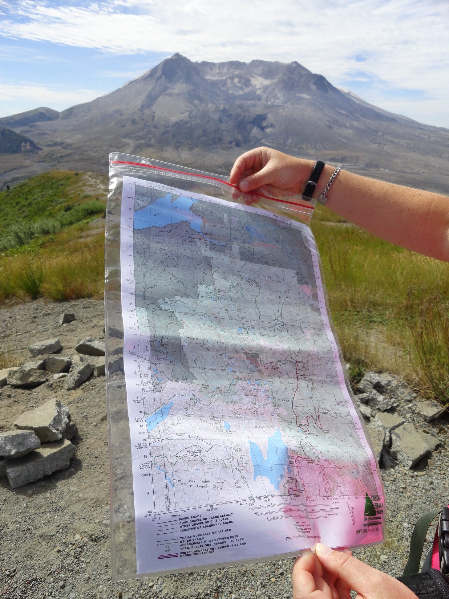
- Since becoming the first publisher of high-quality recreational topographical maps for Washington State, Green Trails, Inc., now publishes more than 150 titles for the most spectacular mountain, beach, and desert areas of the West. Arizona, California, Nevada, Oregon, Utah in addition to Washington are ALL on the Green Trails Map so to speak.
- The company’s latest nearly 50 Gold Standard Editions are ALL solar powered, ultralight, waterproof, and unbreakable printed on Polyart, folded to user convenient size to provide trail users and those planning or remember trips the most accurate and durable maps available.
- All new maps are printed in multicolor on both sides to cover more terrain more clearly and in more user-friendly detail thus providing map users with maximum long lasting value.

